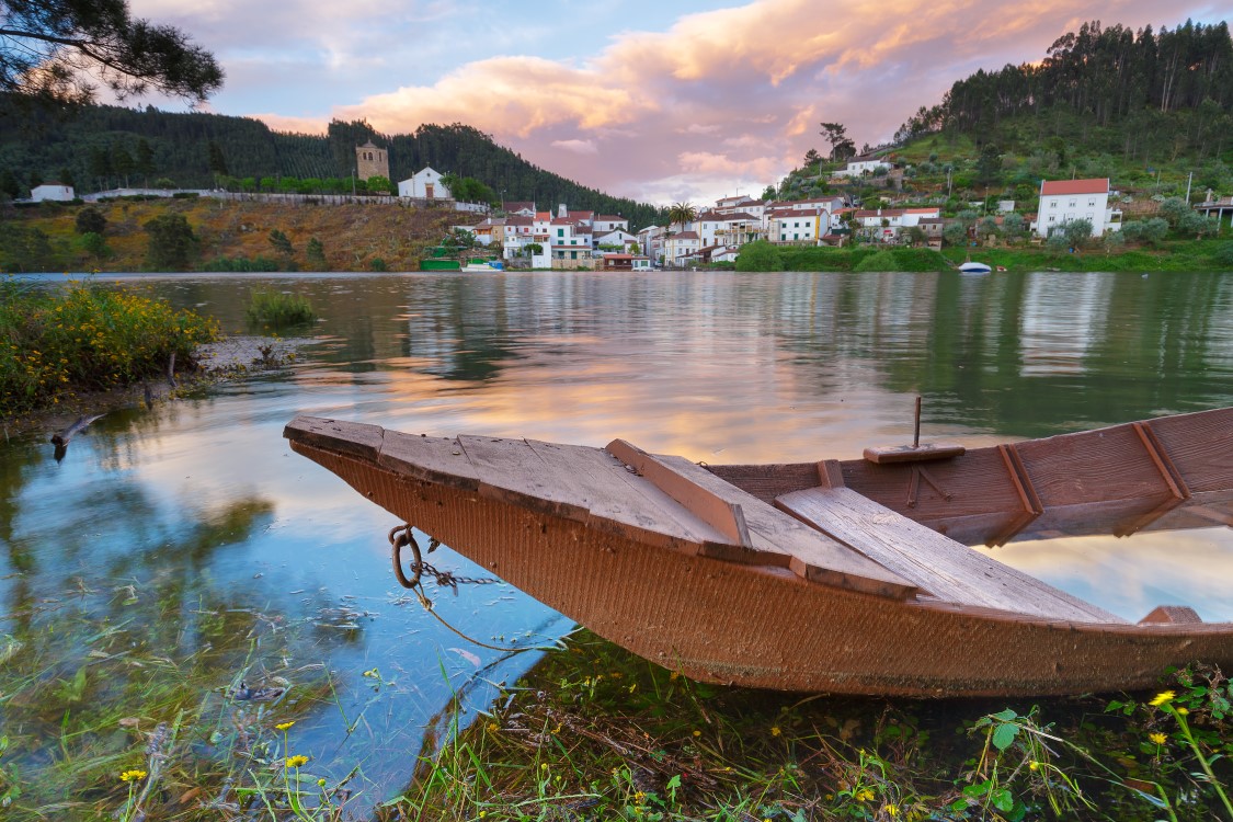
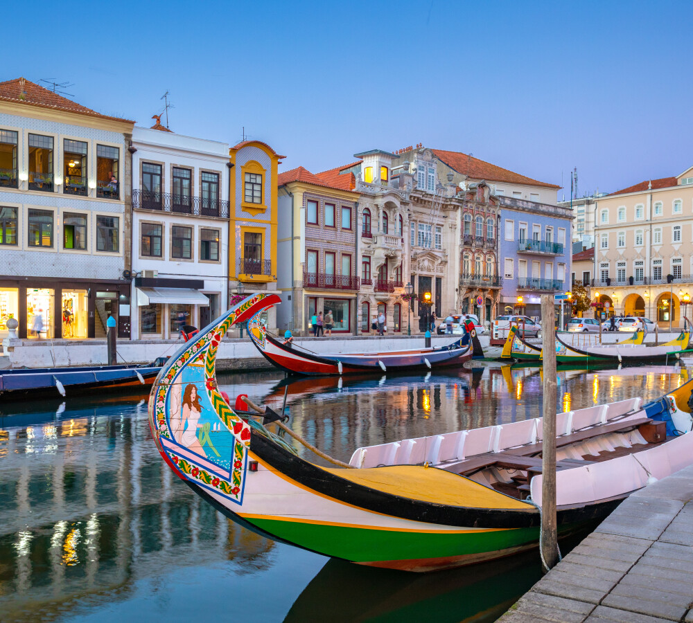
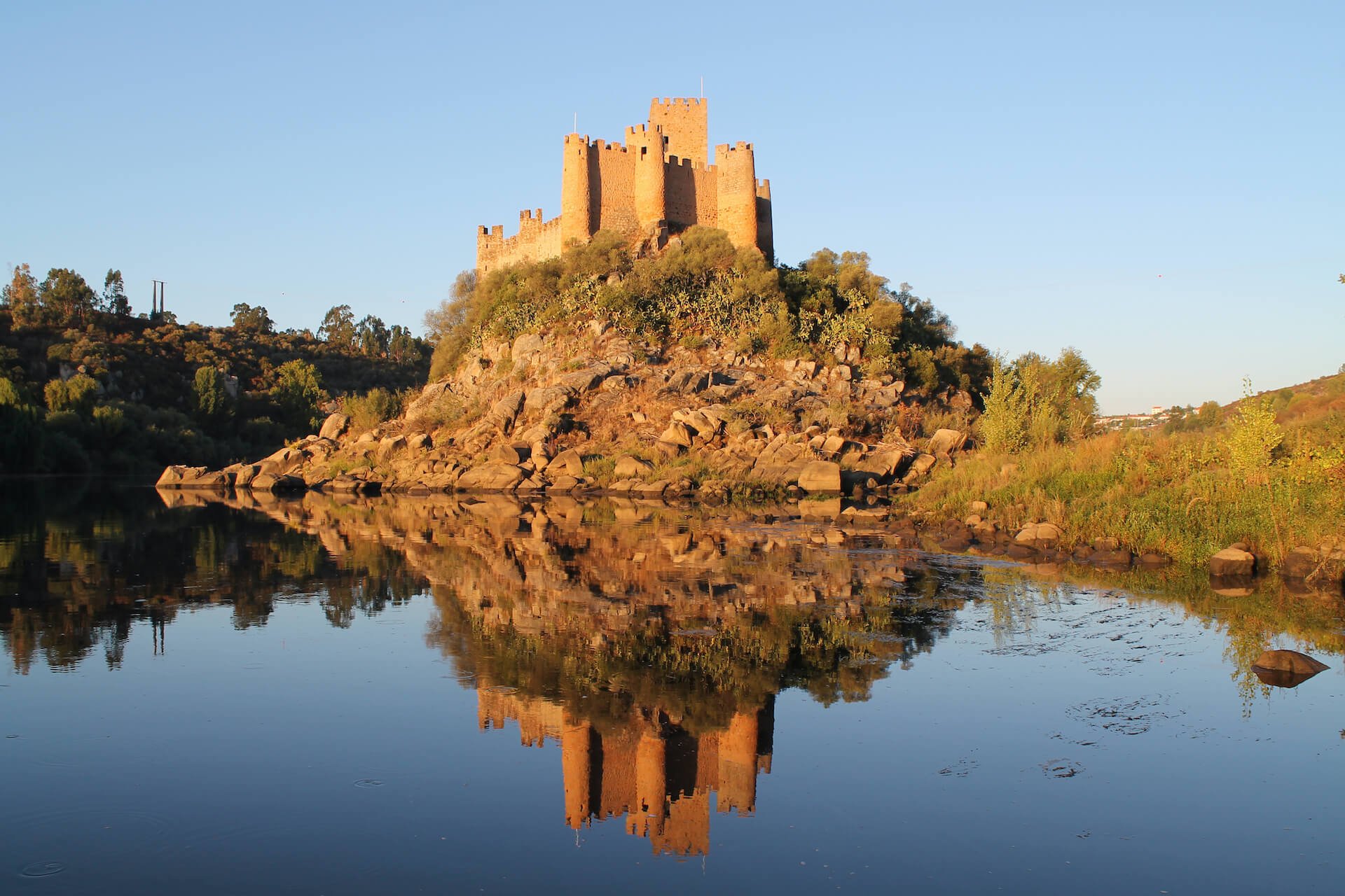
The Center of Portugal
So much to show that sometimes we don't know where to start
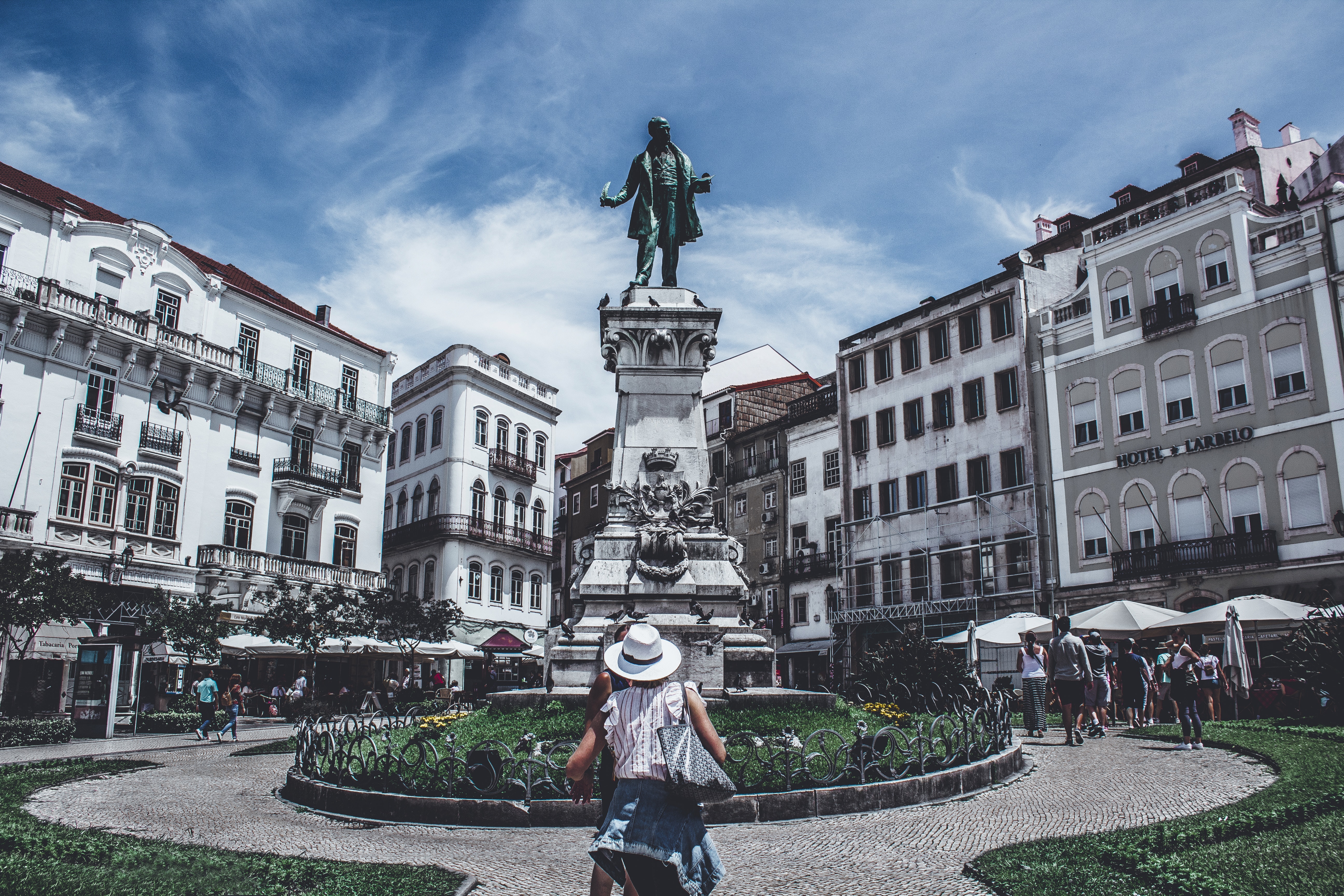
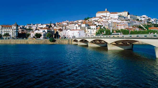
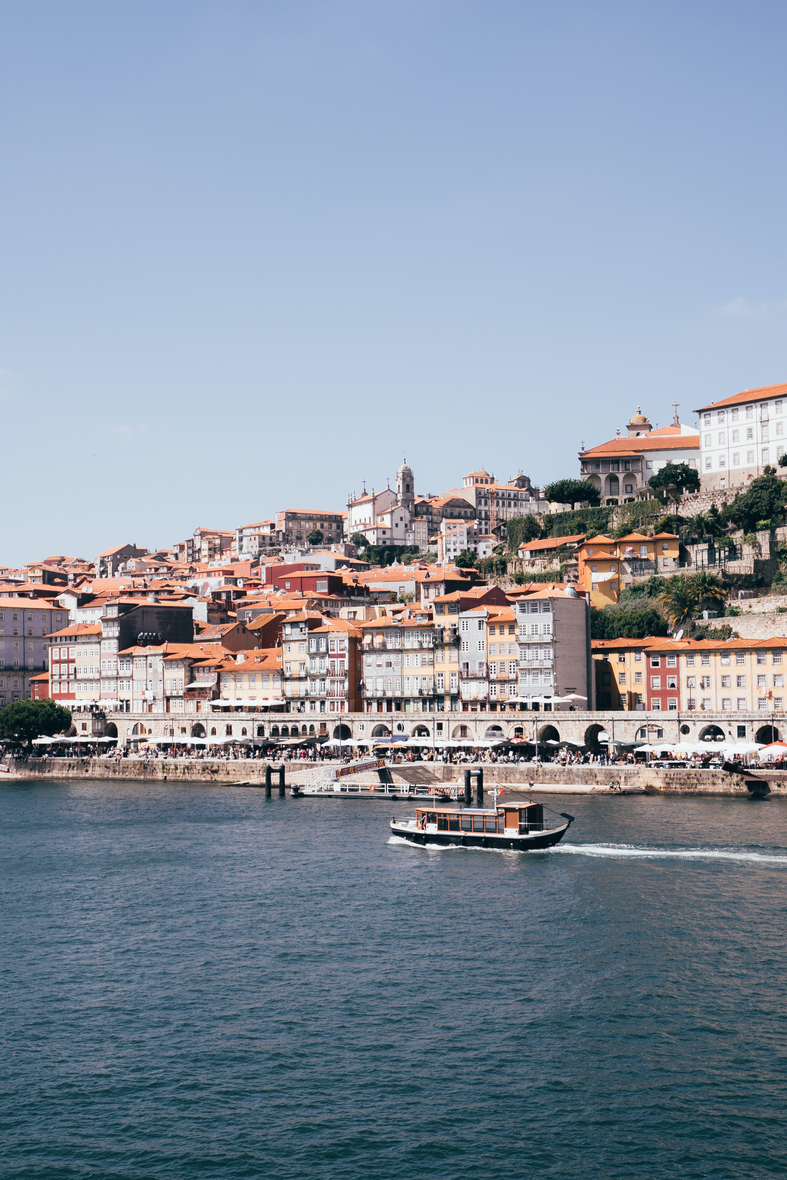
The Centro Region or Central Region is located in the centre of Portugal, with the capital located in the city of Coimbra, with 2,227,912 inhabitants in 2021, being the third most populous region in the country, with a population density of 79 inhabitants per km2,. It is the sixth largest urban area in the country, with a total area of 28,202 km2, and the second largest region in the country.
It is one of the seven regions of Portugal, made up of 972 parishes, comprising 100 municipalities and divided into the following eight subregions: Aveiro Region, Coimbra Region, Leiria Region, West, Viseu Dão-Lafões, Beira Baixa, Beiras and Serra da Estrela and Middle Tagus.
It is limited to the north by the North region, to the northwest by the region of Castile and León, to the southeast by the Estremadura region, both belonging to Spain, to the south by the Alentejo region, to the southwest by the Lisbon Metropolitan Area and to the west by the Atlantic Ocean.
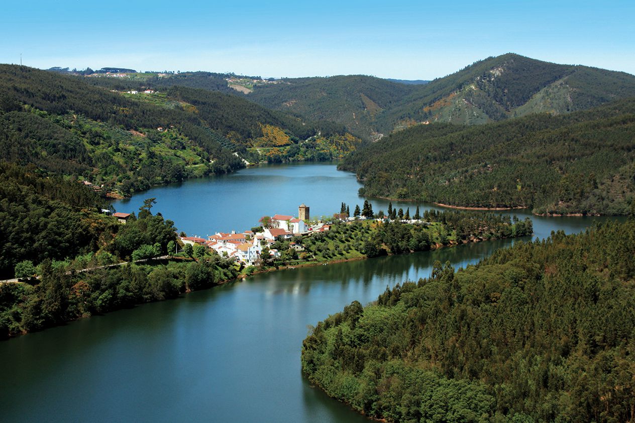
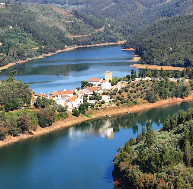
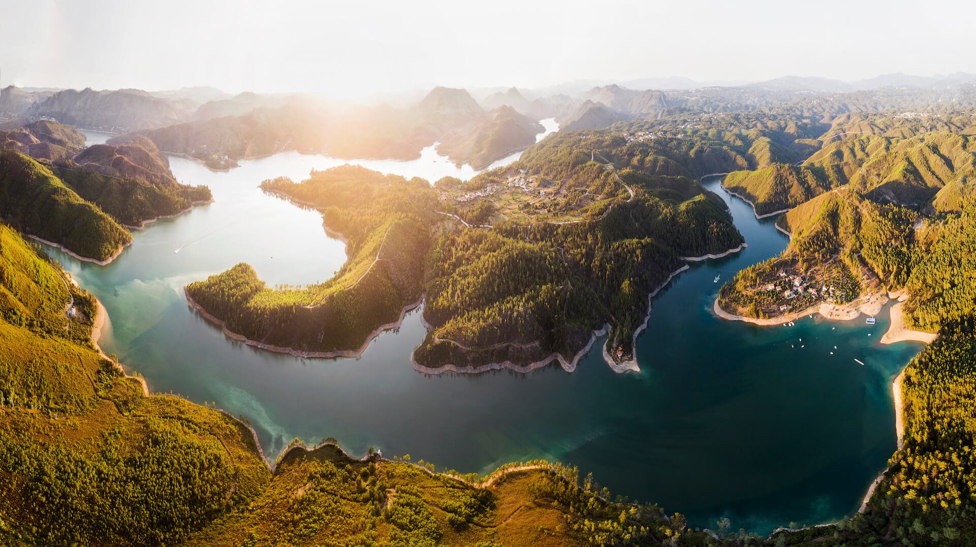
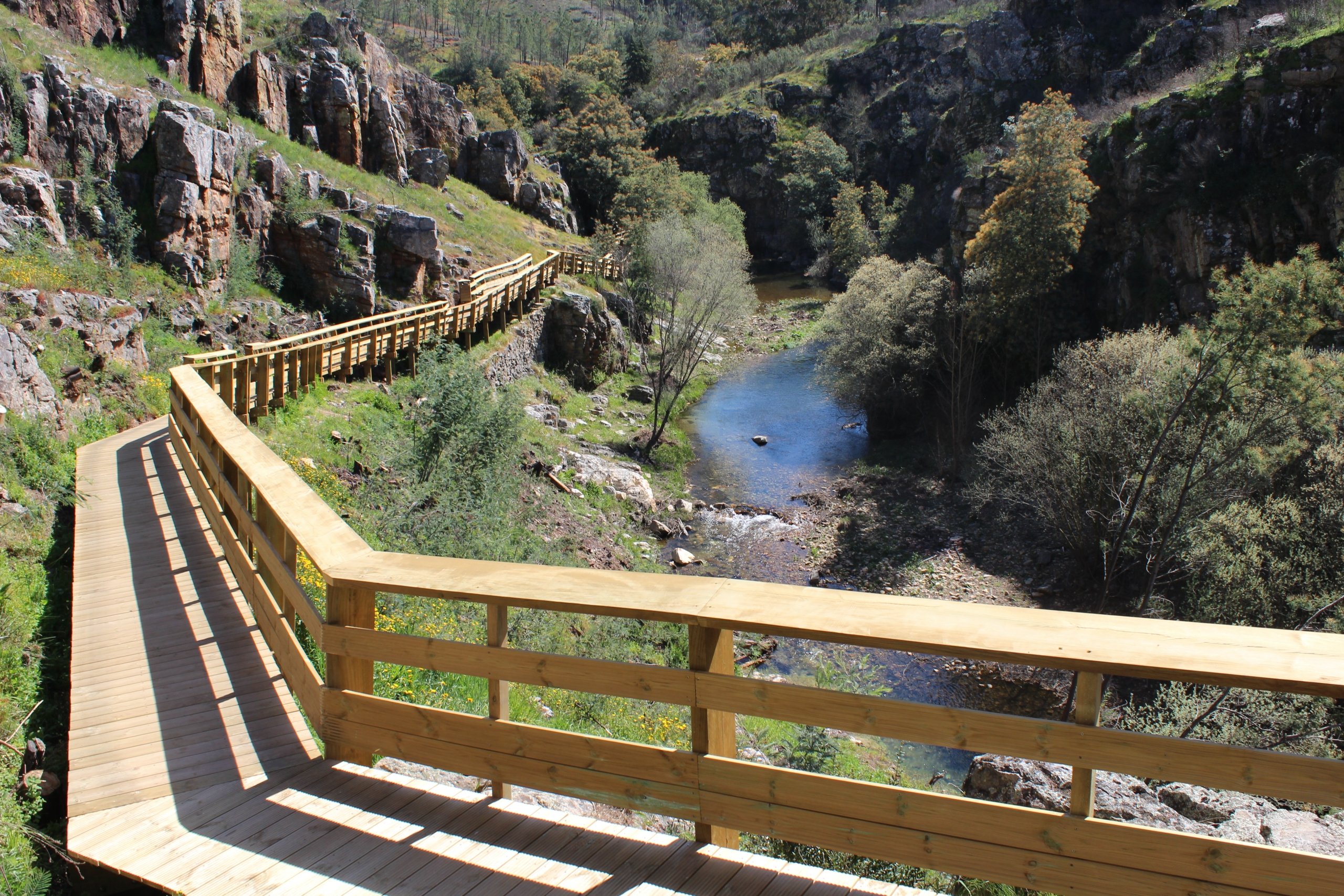
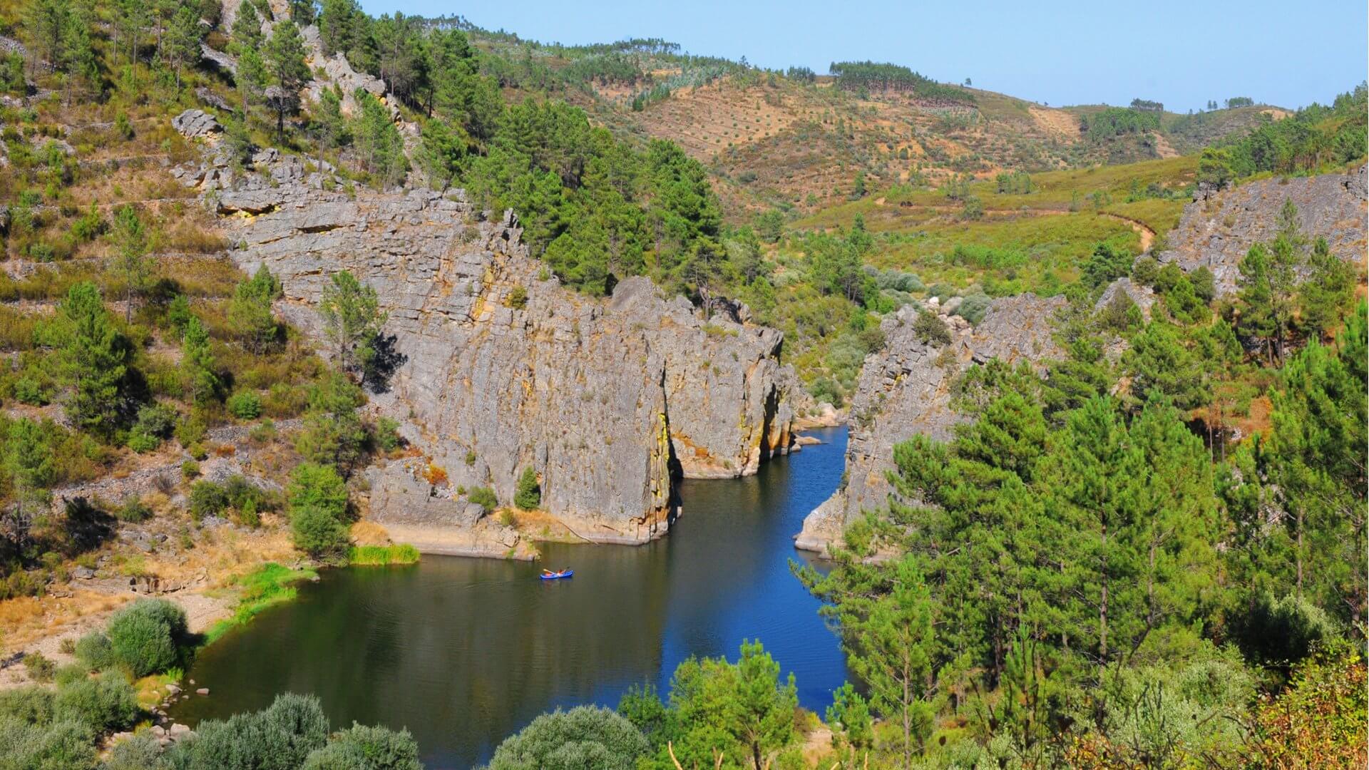
The Coordination and Regional Development Commission of the Centre (CCDR-C) is the agency that coordinates environmental policies, land use planning, cities,and the global development of this region, supporting local governments and associations. This region includes the hills and mountains of the Montejunto-Estrela System, which includes the Estremenho Limestone Massif, as well as the set of famous mountain villages, schist villages and historic villages in Portugal.
Area: 28 462 km²
Population: 2.217 million (2019) Eurostat
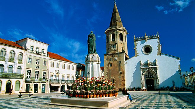
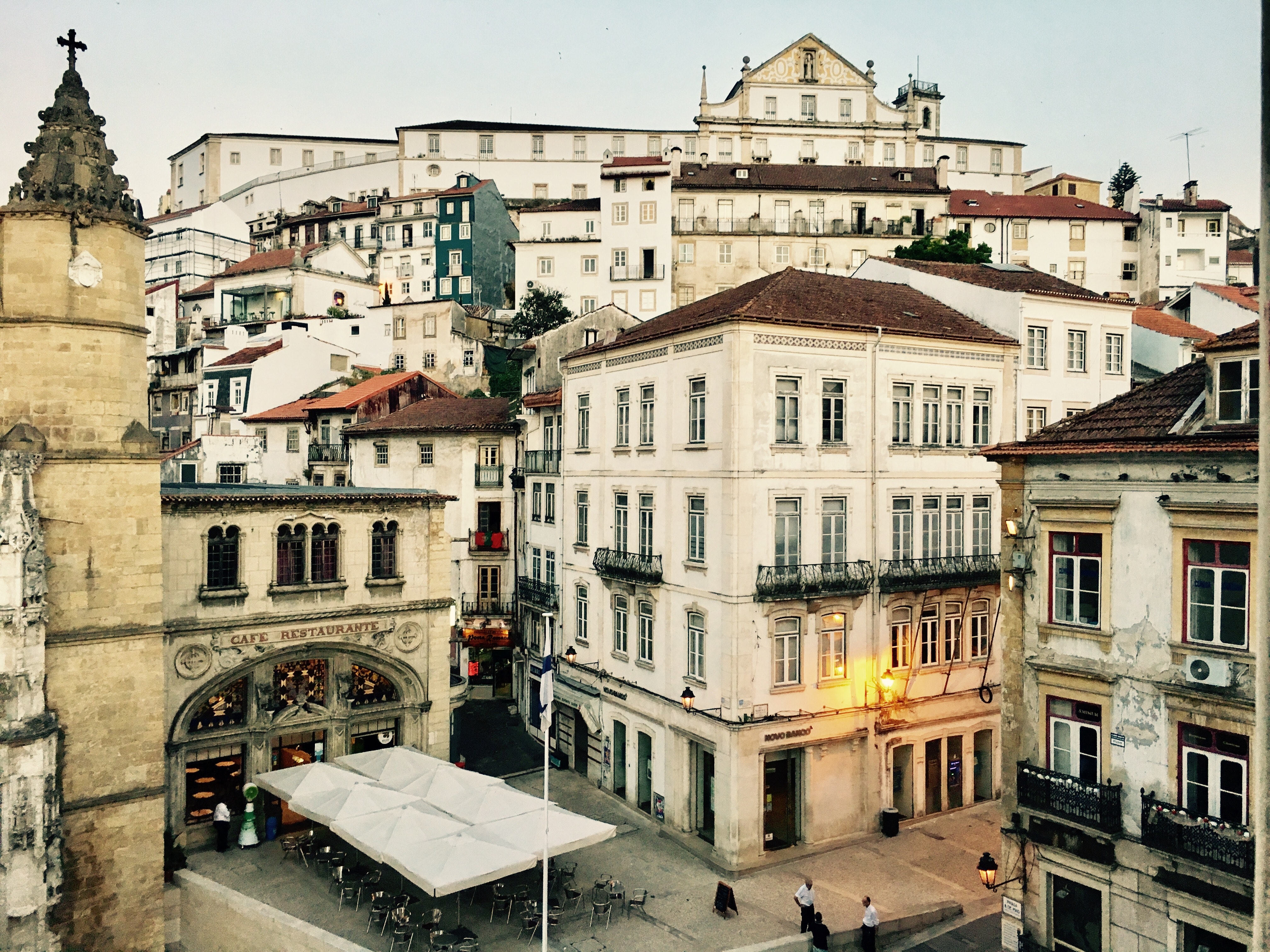
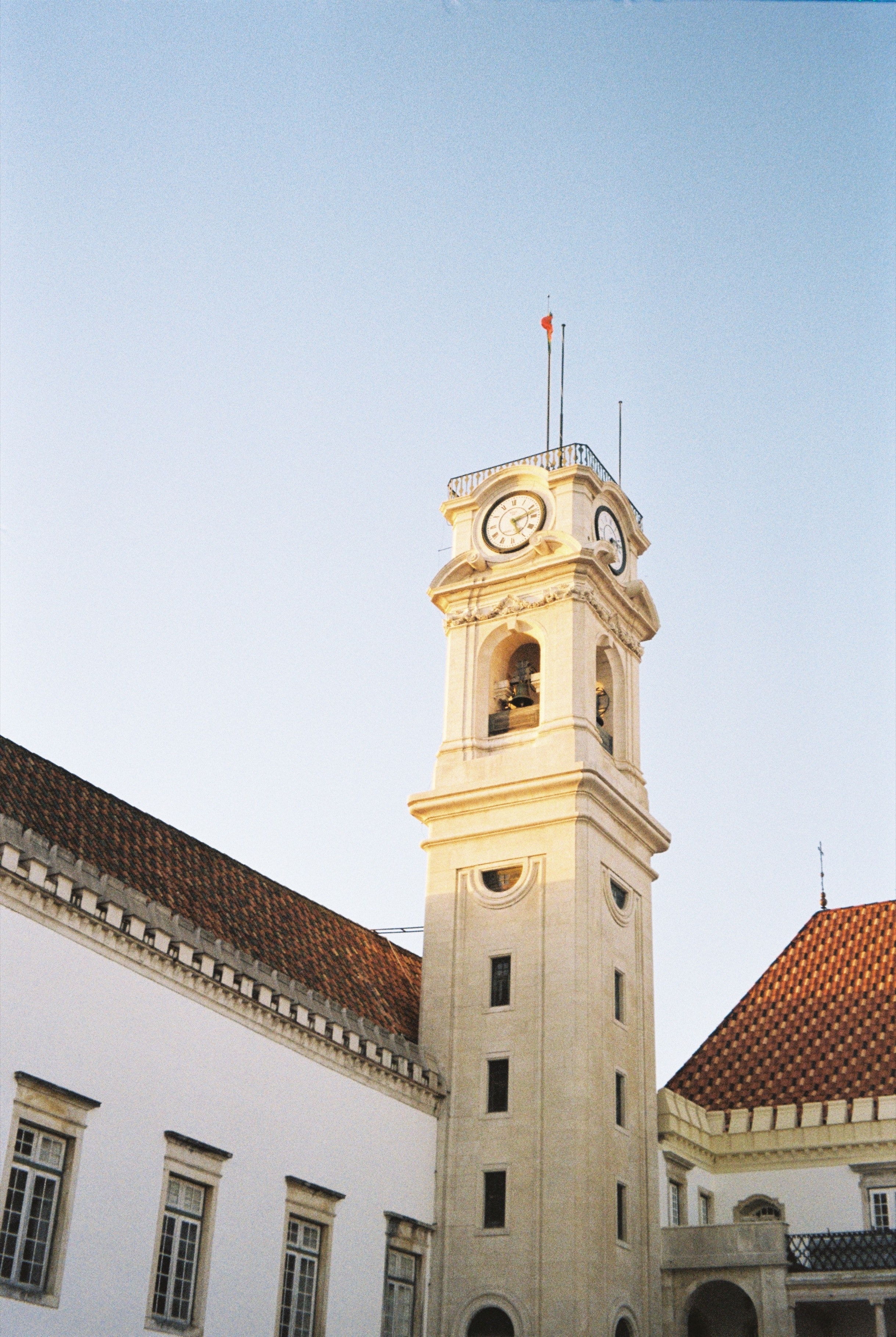
Capital: Coimbra
Climate: Mediterranean (Csa and Csb)
Density: 79 inhabitants/km²
This region has several routes that can be followed according to taste.
In Religious Heritage
Marian Altars Route
Portugal is a country of Marian devotion, and this is a route driven by calm, faith, and tranquillity along the paths of Mary, where you can discover and visit places entirely dedicated to the cult of Our Lady.
Route of the Jewish Quarters
The Jewish presence in Portugal predates the foundation of Portuguese nationality. Today, the Jewish Quarters Route opens the door to the fascinating history of this community on Portuguese soil. Discover it with us.
Carmelite Route
This Route, which finds its inspiration in the life and work of Sister Lúcia, is a proposal for discovering the territory, enjoying the landscape and culture, along a route of 111 km designed by the municipalities of Coimbra, Condeixa-a-Nova, Penela, Ansião, Alvaiázere and Ourém. It is, above all, a journey of spirituality that invites you to discover a little more of your interior.
Route of the Templars
Inspired by the mysteries of the history of the Knights of the Order of the Temple, an organization founded in the Middle Ages with the purpose of protecting Christians on pilgrimages, and by its symbology full of hidden messages, let yourself be carried away and take a journey to discover the Templar treasures in the Centre of Portugal.
On the Historic Routes
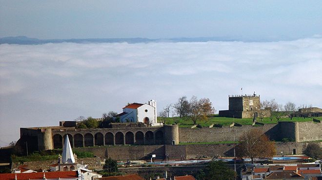
Mondego Castles and Walls Network
There is a Network of Mondego Castles and Walls that aims to make known the vast medieval heritage of the municipalities of Coimbra (Torre de Almedina), Figueira da Foz (Torre and Fort of Buarcos), Lousã, Miranda do Corvo, Montemor-o-Velho , Penela, Pombal and Soure (this castle was built on a flat area, which rarely happens). Its fortification structures were peninsular and religious borders.
This vast and irregular territory, now pacified, makes for pleasant walks through the defence history of the country.
Map-Route of the French Invasions in the Region of Coimbra
The script specifies several moments, such as looting and clashes with Portuguese and English troops, and even the Battle of Bussaco, the confrontation that pitted around 65,000 French against 50,000 Portuguese-English and ended with the French army forced to circumvent the hill on its way to Lisbon, where it did not arrive after failing to overcome the defensive lines of Torres Vedras.
Historic Route of the Lines of Torres
With more than 200 years of history, the Lines of Torres Vedras represent Portugal's struggle for sovereignty in the early 19th century, when the Napoleonic Wars took place. The Route of the Lines of Torres Vedras, headquartered in Sobral de Monte Agraço, can be done by car or through short routes on foot or by bicycle that pass through various military, religious, natural, archaeological, and cultural points of interest, such as the windmills that served as outposts. You can choose between several routes.